Removing Trees At Charnwood Forest Golf Club
By Ken Moore
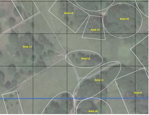
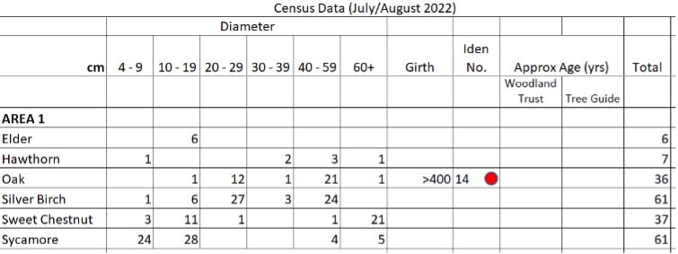
• Trees were identified, sized (Diameter at a height of 4’ 6”) and counted. Using a Google Map the course was subdivided into areas in order to make the counting process easier.
• Trees with a girth of more than 300cm were measured and their grid reference noted.
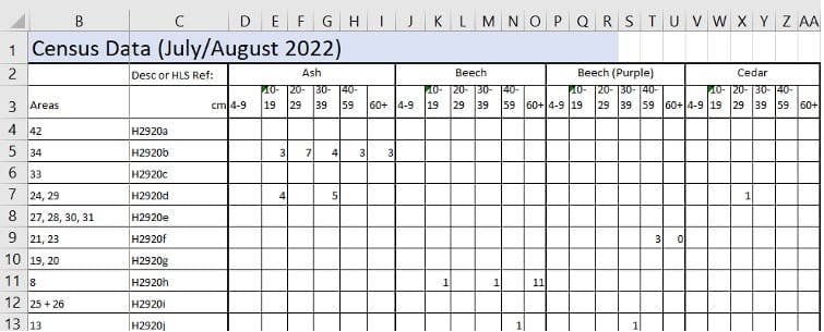
• Data was entered into a spreadsheet.
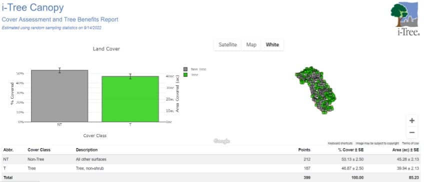
• Using I-tree Canopy (https://canopy.itreetools.org) the percentage canopy was estimated for the whole course, the whole course minus the two wooded areas at either end of the course and the individual areas. This involves running the I-tree Canopy program, locating the course on Google maps from within I-tree, defining the area, identifying whether random points within the area are ‘Tree’ (green dot) or ‘Non-Tree’ (grey dot).
• From the tree census and the I-Tree report it is then possible to calculate the number of trees that need to be removed (or added) to achieve a given percentage of canopy cover.
For further information about this initiative, please contact Ken Moore at
kmoore-0@hotmail.com


